
When I began mountaineering in the early nineties I immediately felt a deep sense of camaraderie among the Seattle-area climbing community. There was rarely more than one degree of separation between local climbers, and we all shared route information (beta we called it) as best we could in the pre social media world. With bicycle racing on hold during the pandemic I have switched my focus to gravel riding and have discovered that same camaraderie among the local gravel community.
Much of the credit for creating this community and disseminating route date goes to Quinn Dusenberry and the Northwest Gravel Riders Facebook Page. Facebook certainly deserves the recent criticisms, but, in the flip side, it is a very effective platform for the development of community and the dissemination of route information.
The reason I’m writing all of this is because this route – up and over Manastash Ridge – was gleaned from the NW Gravel Riders database and is the product of explorers who went out time and again hitting roads to nowhere before finally pushing through a route that the rest of us can simply follow with turn-by-turn directions on our GPS units. Don’t get me wrong, I love pouring over the Gazetteer and scheming up new lines and then checking to see if those lines continue to exist in the physical world, but other times I appreciate following a known route, knowing that I’m not going to end up at some logging landing or on a road that gradually disappears into the forest.
After consuming our share of breakfast burritos and apple fritters at the Cle Elum Bakery, Erik, Steve and I continued driving east to the Thorp Fruit stand where we followed the brown signs to the nearby Ironhorse State Park trailhead. We rolled a quarter of a mile on the Ironhorse and then turned south onto some smooth, nearly zero car traffic tarmac. Had I been riding my race bike with 25mm tires at 90 psi I might have found the chip seal a bit rough, but with the high volume tires inflated to 35 psi on my gravel rig the road felt as smooth as a velodrome.
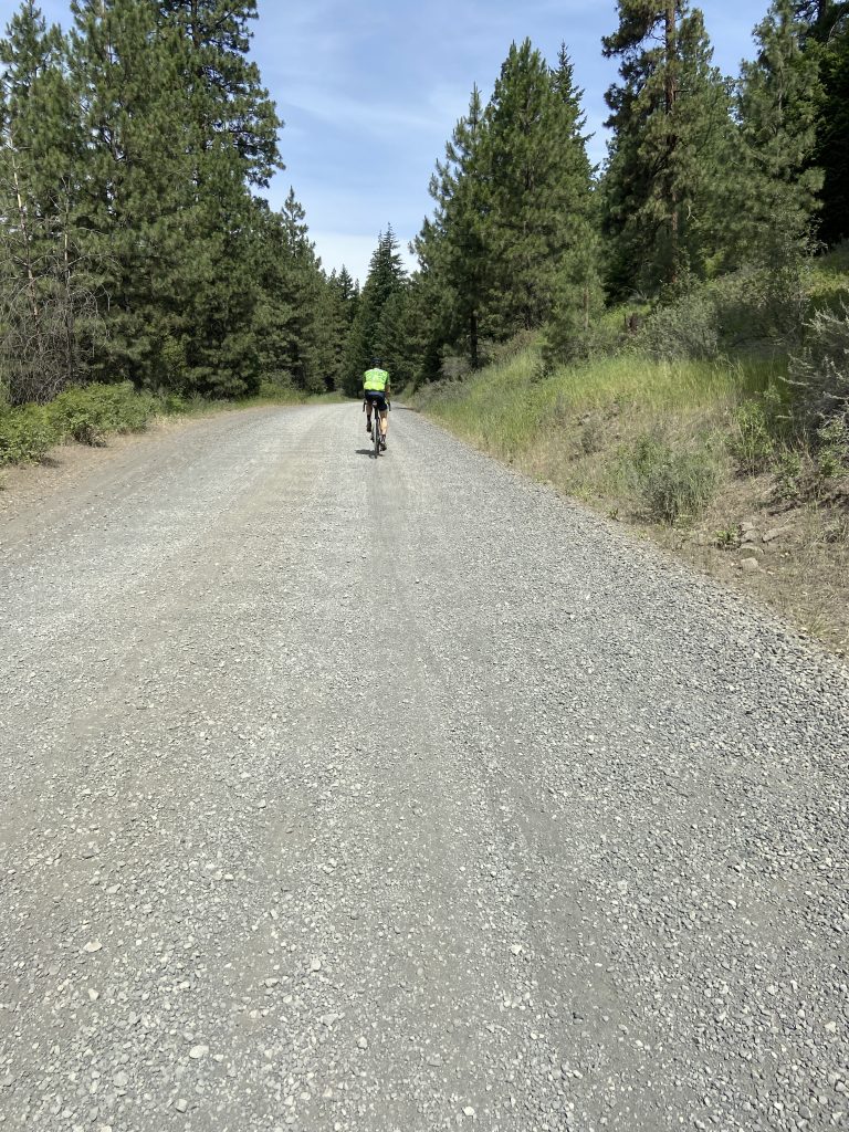
At six miles we turned west onto Manstash Road and continued past some well-maintained homes and ranches. At just about the time I was starting to wonder how much of this is going to be tarmac the pavement ended and up we went on some respectable gravel. There a quite a few campgrounds and trailheads along this road, but the vehicle traffic was minimal. This route is one long up and one long down with transport stages at the front and back, so I settled into a twenty-mile climb pace and gradually made my way upward.
The road did pitch upwards and become rocky in a few places (prompting Erik to say “it’s steep but at least the road sucks”), but for the most part the route was descent gravel at a moderate grade. The Taneum is a beautiful region – green mountains, deep ravines and mountain meadows – and we were especially lucky to be rolling through during the wildflower bloom. The sun was out, but it wasn’t what I’d consider warm. Despite being the eve of Independence Day I wore a thermal jersey and didn’t overheat.
After a false summit, we crested the top and started the long downhill. My downhill gravel skills are improving and I learned that washboard is often better taken at high speed – unless it isn’t – and that I could reliably predict upcoming potholes by observing where the road went from gray to brown.
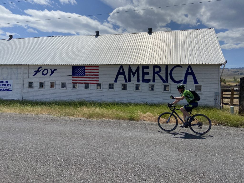
We hit pavement on the Taneum Creek Road, and with gravity and wind assist we coasted eastbound at over thirty miles per hour. The easterly wind was so strong that I scarcely pedaled for over three miles. The turn north back to Thorpe revealed just how strong the wind had been. Steve and Erik had to lean about twenty degrees into the wind simply to stay upright. Fortunately, it was a short trip back to the cars where we tailgated with some orange Fanta and salty chips before heading home.
Route information can be found at: https://www.strava.com/activities/3712832583